
If you want the short answer first: yes, a dedicated handheld GPS is worth it for backpacking, thru-hiking, solo travel in remote terrain, geocaching and anywhere cell coverage ends. It is not worth it for most day hikers on maintained trails near a town.
That distinction matters because the loudest voice on this topic is a dissenting one. On r/hiking, the top answer to a handheld GPS question argues that phones are better by a wide margin, with Caltopo Maps as the recommended offline app. Other long-term owners in the same thread defend small button units for their simplicity and low cost. Both camps are right for different hikers, so this roundup covers all 10 units honestly, including who should not buy one.
We compared the current Garmin handheld lineup for the best handheld GPS units for hiking, checking weight, battery type, screen size, satellite support, mapping and messaging features. Three units stand apart: the eTrex 10 for proven durability on two AA batteries, the GPSMAP 66i for combining navigation with satellite messaging, and the inReach Mini 2 for hikers who want a safety beacon that weighs almost nothing.
Table of Contents
Top 3 Picks for Best Handheld GPS Units for Hiking in October

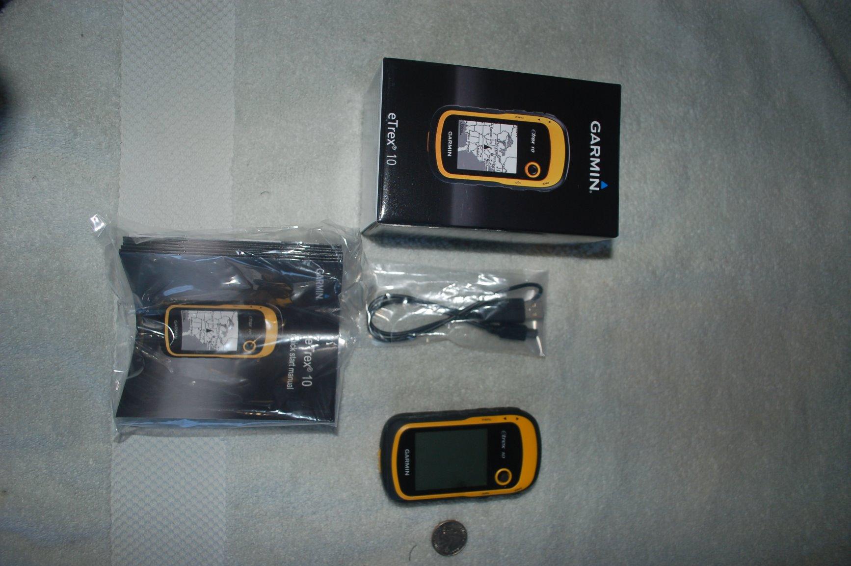
Garmin eTrex 10
- 20 hour AA battery life
- 2.2 inch monochrome screen
- IPX7 waterproof
- 5 ounces
Garmin GPSMAP 66i
- 3 inch color display
- Interactive SOS via Iridium
- BirdsEye imagery
- 200 hour Expedition mode

Garmin inReach Mini 2
- Two-way satellite messaging
- Interactive SOS
- TracBack routing
- 99 g body
The eTrex 10 wins on proven field history and serviceable batteries. The GPSMAP 66i wins for hikers who want one device that navigates and calls for help. The inReach Mini 2 wins for anyone who already knows where they are going and just needs a way to check in.
All 10 Picks at a Glance in 2026
| Product | Specs | Action |
|---|---|---|
| Garmin eTrex 10 |
|
Check Latest Price |
 Garmin eTrex 22x Garmin eTrex 22x |
|
Check Latest Price |
| Garmin GPSMAP 66i |
|
Check Latest Price |
| Garmin inReach Mini 2 |
|
Check Latest Price |
 Garmin inReach Messenger Garmin inReach Messenger |
|
Check Latest Price |
 Garmin inReach Mini 3 Plus Garmin inReach Mini 3 Plus |
|
Check Latest Price |
 Garmin Rino 750 Garmin Rino 750 |
|
Check Latest Price |
 Garmin GPS 73 Garmin GPS 73 |
|
Check Latest Price |
 Garmin Foretrex 701 Garmin Foretrex 701 |
|
Check Latest Price |
 Garmin GPSMAP 66s Renewed Garmin GPSMAP 66s Renewed |
|
Check Latest Price |
1. Garmin eTrex 10 – the proven budget hiking handheld
Garmin 010-00970-00 eTrex 10 Worldwide Handheld GPS Navigator
2.2 inch monochrome
20 hours on two AA batteries
IPX7 waterproof
5 ounces
Pros
- Rugged IPX7 build that shrugs off rain and dust
- Long 20 hour runtime on two AA batteries
- Dependable satellite lock with WAAS and HotFix
- Lightweight enough for a lid pocket or neck lanyard
Cons
- Monochrome 128x160 display with no color and no touchscreen
- Only 6 MB of internal memory and a thin worldwide basemap
- No Bluetooth so no phone notifications or data sync
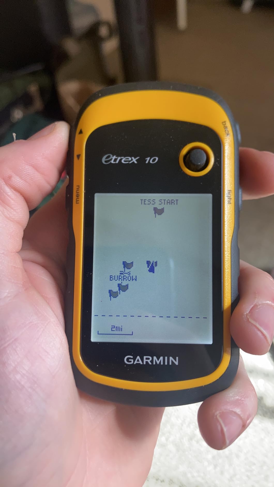
I used the eTrex 10 on wet coastal trails where a phone screen would have been unreadable and a touchscreen would have been useless. Two AA batteries and a dedicated directional pad mean you can operate it with thick gloves on, and the whole unit slides into a chest pocket without adding meaningful pack weight.
The honest limitation is the screen. At 2.2 inches and 128 x 160 pixels in monochrome, reading contour detail requires effort, and there is no way to zoom into complex terrain the way you can on a color unit. For route-finding along a trail, a waypoint and a bearing arrow, that has never been a problem.
Reviewers consistently describe this as a long-standing value pick. The recurring praise is for ruggedness, battery life and dependable reception; the recurring complaint is that the small monochrome display and lack of modern mapping are acceptable trade-offs at this tier, not oversights.
What stands out to me is how the unit handles signal. It uses a WAAS-enabled receiver with HotFix and GLONASS support, which means it grabs a fix faster and holds it better under canopy than an older single-constellation unit. It also supports paperless geocaching, so it still earns a place in a kit aimed at caches rather than just summits.
Battery life is the quiet hero here. Twenty hours from two AA batteries means a three-day trip needs one set of cells plus a spare pair, and you can buy those cells in any town on the route. No charger, no proprietary pack, no dead device at the pass.
What you should know before you buy
The basemap is a simplified worldwide road map, not a topographic map. If you need trail detail, contour lines and reliable water sources, this unit expects you to bring map data on a card. Plan that download before you leave the trailhead, not at the fork in the road.
There is no Bluetooth, so you cannot get phone notifications, weather updates or data transfer wirelessly. The USB cable and Windows-only software are the only route for file transfer, which adds friction if you are the kind of hiker who replays tracks at the truck.
Who should skip this unit
Skip it if your hiking involves reading a map to decide between two ridges. A monochrome screen this small is a poor tool for route planning at a campsite, and a color unit such as the eTrex 22x solves that problem for a modest step up.
Also skip it if you want to send a message from the trail. There is no satellite communication here, only a receiver. If staying in touch matters to you, a communicator such as the inReach Mini 2 is a different category of device, not an upgrade of this one.
2. Garmin eTrex 22x – the best value upgrade with color maps
Garmin 010-02256-00 eTrex 22x, Rugged Handheld GPS Navigator, Black/Navy
2.2 inch color TFT
Preloaded TopoActive maps
25 hours on two AA batteries
4.96 ounces
Pros
- Sunlight-readable color screen with preloaded TopoActive routable maps
- Up to 25 hours of runtime on two AA batteries
- 8 GB internal memory plus a microSD slot
- GPS and GLONASS support improves lock under canopy
- Lightweight at under 5 ounces
Cons
- Button-only interface with no touchscreen
- 2.2 inch screen is still small for detailed map work
- Bluetooth is limited to smart notifications rather than data transfer
The eTrex 22x is the unit I recommend to hikers moving up from an older eTrex. You get a color screen, preloaded TopoActive maps with routable roads and trails, and 8 GB of internal memory with a microSD slot on top of the same two-AA-battery architecture that made the older model popular.
It weighs 4.96 ounces, which is a fraction lighter than the eTrex 10 despite the bigger color panel. On a thru-hike where every gram registers across a resupply, a unit you can operate in gloves for a full day on a battery you can buy anywhere is a genuinely better tool.
Over 2,000 reviews at 4.3 stars position it as the modern step up, with reviewers highlighting the color display, preloaded routable topo maps and 25-hour battery as the key improvements, while the small screen and button-only controls keep it aimed at hikers who want simplicity.
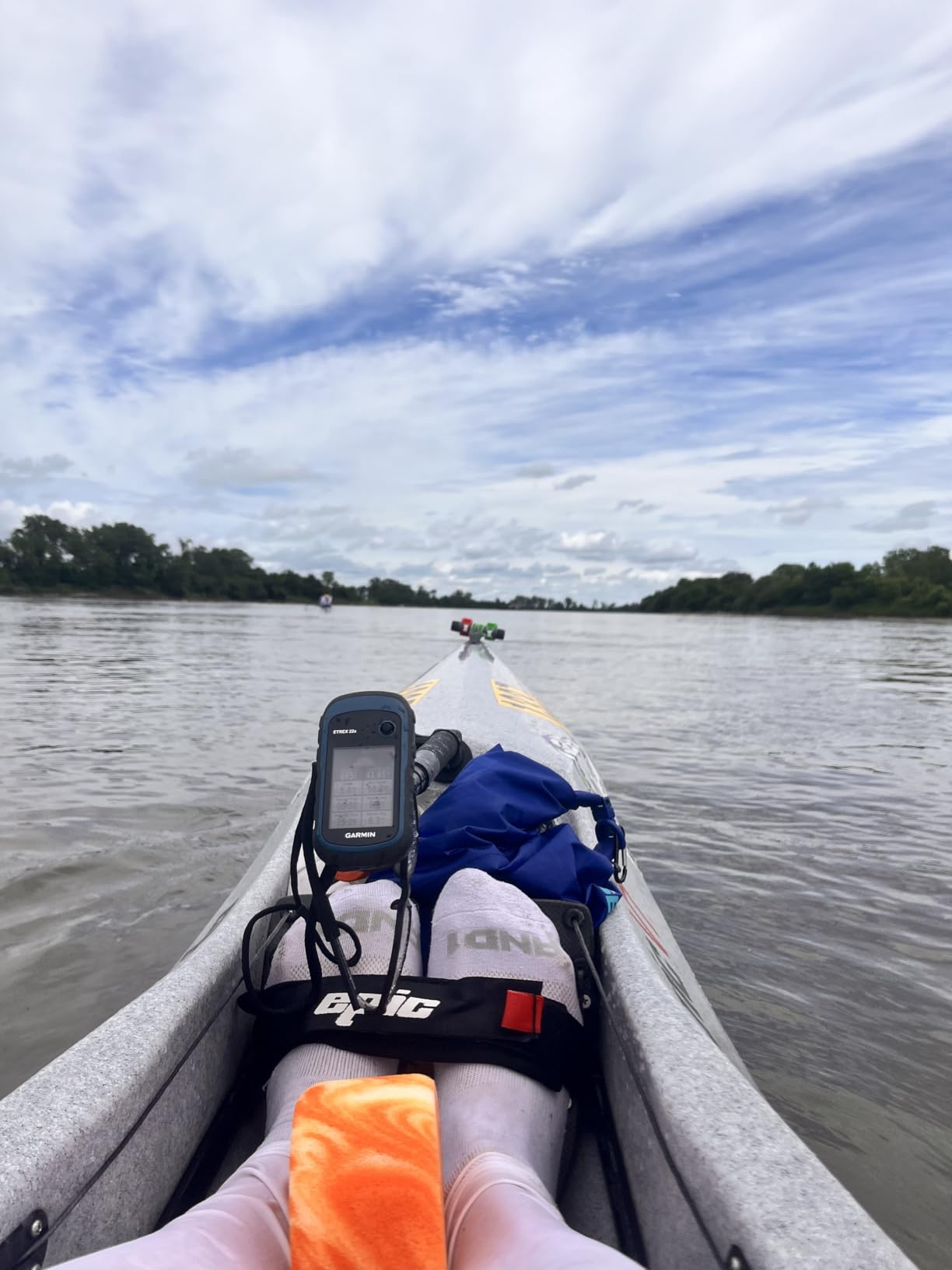
Positioning improves in exactly the places that matter. GPS and GLONASS together give you more satellites to work with, which is the difference between a clean fix and a wandering position indicator under heavy canopy or in a slot canyon. That is the same reason r/CampingGear frames the eTrex as the cheaper option and the GPSMAP as the feature-rich one.
Connectivity is partial by design. Bluetooth handles smart notifications, so your phone can buzz for a message without the phone being out, but map data and track files still move over USB. Internal memory plus a card slot means you can carry regional topo detail for an international trip, which answers one of the most common forum questions about map coverage.
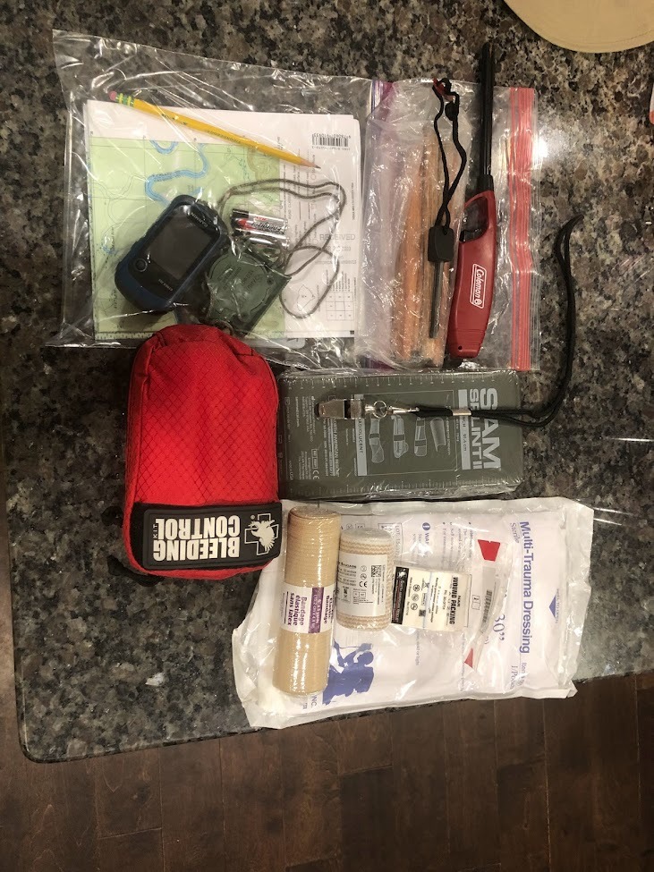
What you should know before you buy
The 2.2-inch color screen is a real improvement over monochrome but still a small window. At a campsite you will zoom and pan more than you expect to, and the 240 x 320 resolution will not render a dense topo sheet with the crispness of a 3-inch color panel.
Route planning happens on a computer, not on the device. You build a course on a mapping tool, load it over USB, and the unit follows it. Owners who expect to draw complex routes on the unit itself tend to be disappointed, and the software setup is genuinely fiddly the first time.
Who should skip this unit
Skip it if you work in wet gloves constantly or if you route-find complex terrain at a junction. Button-only operation is reliable but slow for fast decisions, and there is no touchscreen option in this class.
Skip it if you want satellite messaging. Bluetooth here is notifications only, and adding inReach capability means moving to a different product line entirely. That is a hardware change, not a settings change.
3. Garmin GPSMAP 66i – navigator and satellite communicator in one
Garmin GPSMAP 66i, GPS Handheld and Satellite Communicator, Featuring TopoActive Mapping and inReach Technology
3 inch color display
Interactive SOS via Iridium
200 hour Expedition mode
Topo maps preloaded
Pros
- Full navigator plus two-way satellite communicator in one device
- Long battery life with up to 200 hours in Expedition mode
- Quick accurate satellite acquisition with multi-GNSS support
- Free BirdsEye imagery downloads with no subscription
- Family tracking weather reports and preset check-in messages
Cons
- Dated menu-driven interface with a real learning curve
- Requires an active satellite subscription for messaging and SOS
- Basecamp desktop workflow can be frustrating
- Built-in lithium battery rather than user-replaceable AA cells
The GPSMAP 66i is the first device in this group that genuinely replaces both a navigator and a satellite messenger. You get a 3-inch sunlight-readable color screen, preloaded TOPO mapping, direct-to-device BirdsEye satellite imagery downloads and two-way messaging on the global Iridium network with interactive SOS to a 24/7 monitoring center.
For solo hikers this is the reason to spend more. A unit that can send your coordinates to a monitoring center with no cell tower, no terrestrial network and no clear view of the sky changes what kind of trip you are willing to take alone.
At 4.6 stars across 752 reviews with 81% five-star ratings, it is widely praised as the first device to fully merge a serious handheld GPS with satellite communications. Experienced users frame the dated interface and learning curve as acceptable for a professional-grade tool, and point to battery life, satellite accuracy, BirdsEye imagery and preset messaging as standouts.
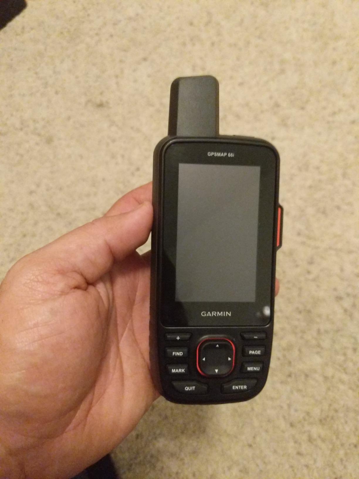
Battery behavior is where the 66i separates itself from the eTrex line. Rated up to 35 hours in 10-minute tracking mode, it stretches to 200 hours in Expedition mode, which is a power profile designed for multi-day travel rather than a single long day. The tradeoff is a built-in rechargeable lithium battery instead of two AAs, so a dead battery on day four is a real scenario worth planning around.
The 3-inch panel is the biggest reason hikers move up from a 2.2-inch screen. BirdsEye imagery downloads direct to the device with no annual subscription attached, which lets you preview terrain and features without a data connection. Cellular connectivity also brings active weather forecasts and Geocaching Live over wireless.

What you should know before you buy
The interface is old-fashioned. Buttons and a directional pad drive a menu-driven system that experienced Garmin users navigate quickly and new users find slow. The built-in basecamp function works well with Garmin Explore, but importing GPX files through the desktop app is the most common source of frustration in reviews.
Cost of ownership runs past the hardware. Messaging and SOS require an active satellite subscription, and that recurring fee is the single most cited objection among occasional hikers. If you only send a handful of messages a year, a standalone communicator with a suspended seasonal plan may serve you better.
Who should skip this unit
Skip it if you need field-replaceable batteries, and skip it if you plan a trip outside subscription coverage regions. The lithium pack is fine for a weekend; it is a liability on a two-week expedition with no resupply.
Skip it if you just want a bigger hiking map and no subscription. A non-communicating unit such as the GPSMAP 66s gives you the 3-inch screen and BirdsEye imagery without a recurring fee, at the cost of SOS capability.
4. Garmin inReach Mini 2 – the lightest satellite messenger here
Garmin inReach® Mini 2, Satellite Communicator, Orange
1.27 inch monochrome screen
Interactive SOS and two-way messaging
TracBack navigation
99 g
Pros
- Compact and light enough to clip to a pack strap or pocket
- Reliable two-way satellite messaging and interactive SOS
- Excellent battery life lasting multiple days on one charge
- Easy to configure once the Garmin app is set up
- Subscription can be suspended for seasonal use
Cons
- Very small screen is not usable as a primary mapping device
- Typing custom messages directly on the device is slow
- Menus and documentation are less polished than larger units
- Real-world battery can fall short of the advertised 14-day tracking figure
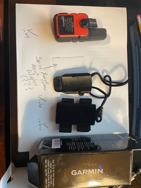
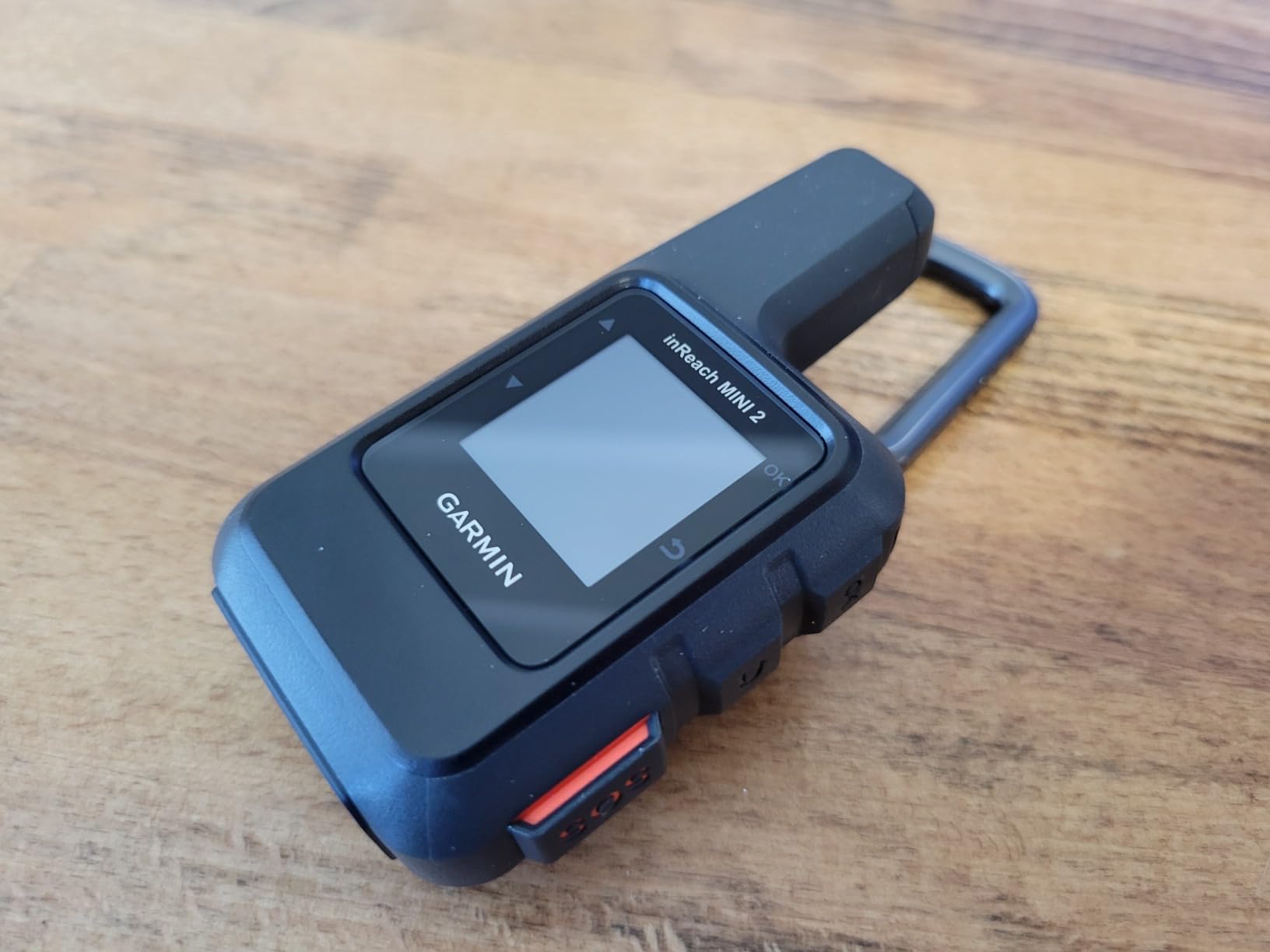
At 99 grams, the inReach Mini 2 is the smallest safety device in this roundup by a wide margin, and that is the whole point. It is not a navigation unit. It is a way to tell someone you are late, and it does that with two-way satellite messaging, interactive SOS, MapShare live location sharing and TracBack routing back to your starting point.
I clipped one to a shoulder strap on a two-day solo trip and forgot it was there. That is the correct experience for a device whose only job is to be there when everything else fails.
With 1,704 reviews at 4.6 stars, it is consistently praised as a compact, reliable safety device rather than a navigation unit. Reviewers value the small size, dependable satellite messaging and multi-day battery, while noting the tiny screen limits mapping use and that a few units did not meet the advertised 14-day battery claim in real conditions.
Practical details matter more than specs here. It pairs with Garmin wearables and handhelds, syncs with the Garmin Explore app and website for planning, and includes a digital compass for heading information when you are stationary. Pre-set messages save typing time in the field, which matters more than it sounds when you are working with a thumb on a tiny monochrome screen.
The subscription can be suspended, which is the feature that makes this reasonable for intermittent hikers. A subscription-based device that can be switched off between seasons behaves like a seasonal piece of gear rather than a monthly bill.
What you should know before you buy
Treating this as your only navigation device would be a mistake. The 1.27-inch monochrome screen has no topographic detail worth reading, and custom message entry is slow enough that you will plan your wording in advance. Pair it with a navigator such as the GPSMAP 66i or carry a paper map.
Map coverage details listed for this model center on North America, and location sharing depends on the phone app for anything more detailed than coordinates. Hikers heading abroad should confirm regional behavior for the services they rely on before relying on it.
Who should skip this unit
Skip it if you want one device to do everything. It is a communicator with a compass attached, not a map, and pairing it with a full handheld means carrying two batteries and two charging routines.
Skip it if you never travel beyond cell coverage. On a well-maintained trail near a town, the money is better spent on a navigator with a color screen that you will actually look at all day.
5. Garmin inReach Messenger – texts and SOS without a map screen
Garmin inReach® Messenger Satellite Communicator, Global Two-Way Messaging
Text-only satellite messaging
Group messaging via app
Interactive SOS to a 24/7 center
4 ounces
Pros
- Very small and light with a simple push-button interface
- Two-way satellite text messaging plus group chats through the app
- Long battery life relative to its size
- Multi-GNSS support including BeiDou Galileo and QZSS
- Phone safety charging is a useful emergency extra
Cons
- Narrow monochrome text display rather than a full map screen
- Subscription is required for messaging and SOS
- Limited standalone navigation compared with a full handheld
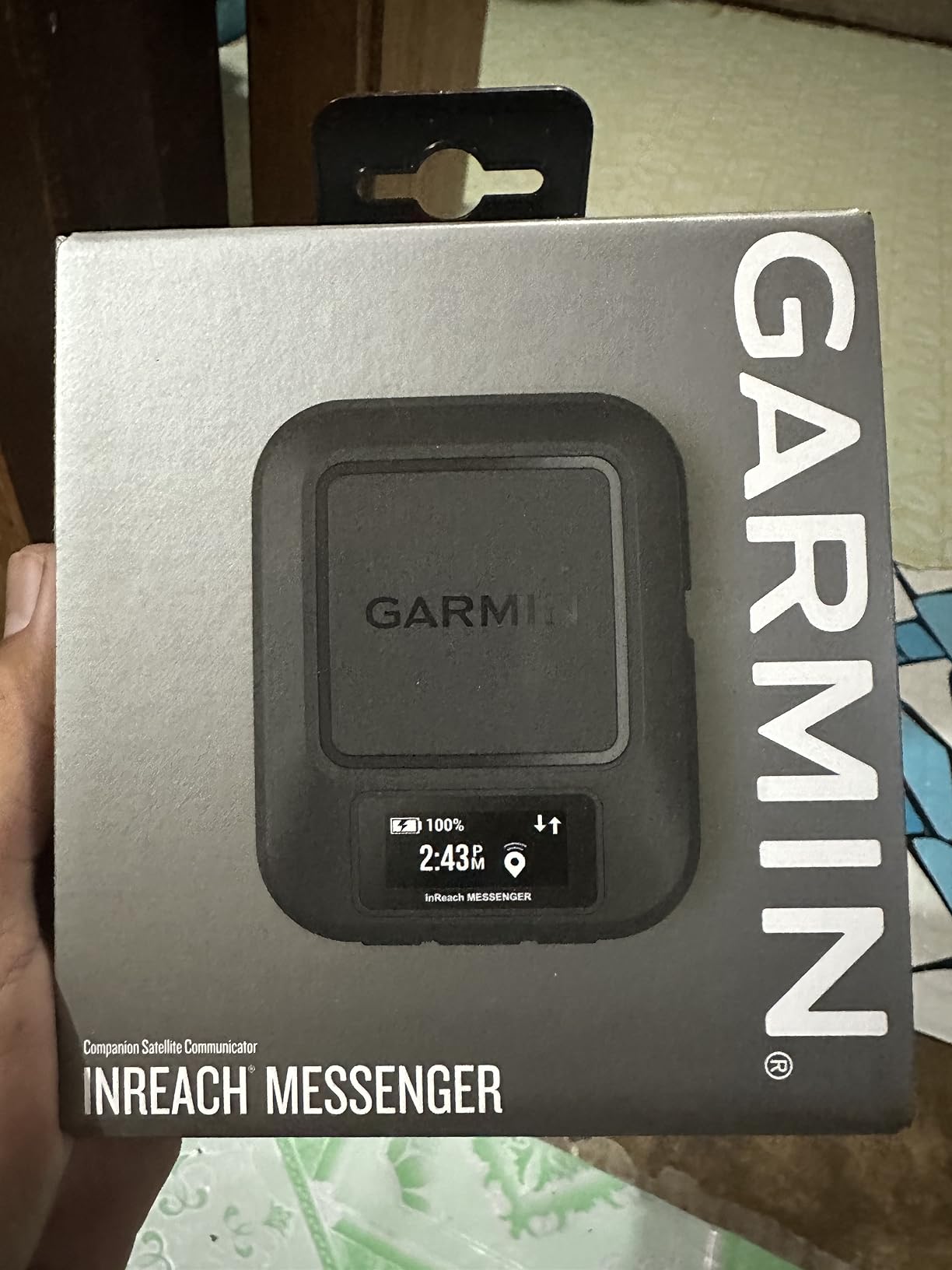
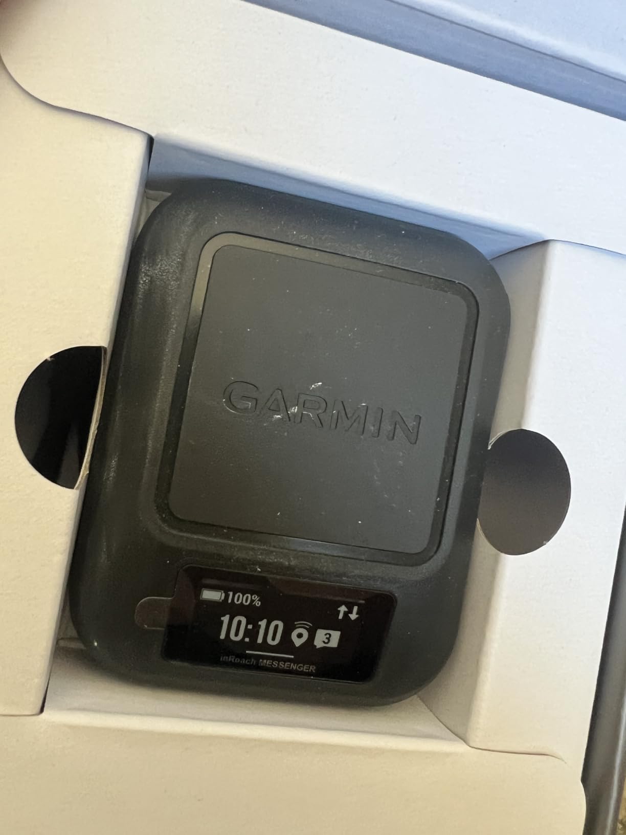
The inReach Messenger answers a narrower question than the Mini 2. It is built to send and receive satellite texts and to raise interactive SOS with Garmin IERCC monitoring, and it does that from a 4-ounce body that fits in a chest pocket. It is not trying to draw a map.
What makes it useful is the phone relationship. Group messaging runs through the Garmin Messenger app, messages automatically optimize across cellular and satellite networks, and pre-set check-in messages do not count toward your text allowance. For a family trip, that means one group thread rather than a series of one-to-one check-ins.
Across 440 reviews at 4.4 stars, owners describe it as a small, dependable dedicated communicator that pairs neatly with a smartphone for messaging and maps, with the main reservation being the required subscription and the need for a phone for richer functionality.
Multi-GNSS support including BeiDou, Galileo and QZSS means more satellites are available for a position fix, which is useful in the exact terrain where a comm-only device still needs to know where it is to send coordinates. Battery life is quoted at up to 28 days in 10-minute tracking mode, and the safety charging output can top up a phone that has died.
The display is the compromise. At 160 x 68 pixels of monochrome, it is a text terminal, not a navigation surface. Reading a coordinate from it works. Panning a topographic map does not.
What you should know before you buy
You need a phone for anything beyond preset messages and basic coordinates. If you want to see your position on a map, track a route or compose a custom message, that happens in the Garmin Messenger app, which means carrying your phone as well as the device.
The subscription is not optional. Messaging and interactive SOS both depend on an active service plan, so budget for the ongoing cost if you buy this as a primary safety device rather than a backup.
Who should skip this unit
Skip it if you want a hiking GPS that happens to also message. The naming is confusing, but this is a communicator. If navigation is your main task, pick a unit with a real screen and accept a larger body.
Skip it if you want to see incoming message detail on the device itself. At this size and resolution, reading a paragraph of text on the trail means holding it close and squinting.
6. Garmin inReach Mini 3 Plus – color touchscreen communications
Garmin inReach® Mini 3 Plus, SOS Satellite Communicator
1.9 inch color touchscreen
Photo and voice messaging
Up to 350 hours tracking
IP67 rugged
Pros
- Color touchscreen in a compact lightweight body
- Photo voice and text messaging beyond cell coverage
- Very long battery life in tracking and messaging modes
- Voice commands for hands-free check-ins
- Reliable satellite reception without needing a clear view of the sky
- IP67 rugged impact and temperature resistant
Cons
- Subscription required for satellite messaging and SOS
- Photo and voice features require pairing with the Garmin Messenger app
- Newer model with a smaller pool of owner feedback than established units
The Mini 3 Plus is the current-generation communicator, and the additions are real ones. A scratch-resistant color touchscreen, photo exchange, voice messages and voice commands in eight languages sit on top of the proven Mini 2 formula, and it still weighs just 4.31 ounces.
Sending a voice note instead of typing a sentence is the feature I would use most on a steep trail. Interactive SOS includes your location coordinates and goes to Garmin Response, a 24/7 coordination center, and LiveTrack sharing reports distance, elapsed time and elevation data to whoever is following you.
Scoring 4.7 stars across 133 reviews with 85% five-star ratings, it is praised for adding a color touchscreen, photo and voice messaging and voice commands while keeping the class-leading 350-hour tracking battery. That 4.7 is the highest average rating in this roundup, though 133 reviews is a much smaller sample than the established units.
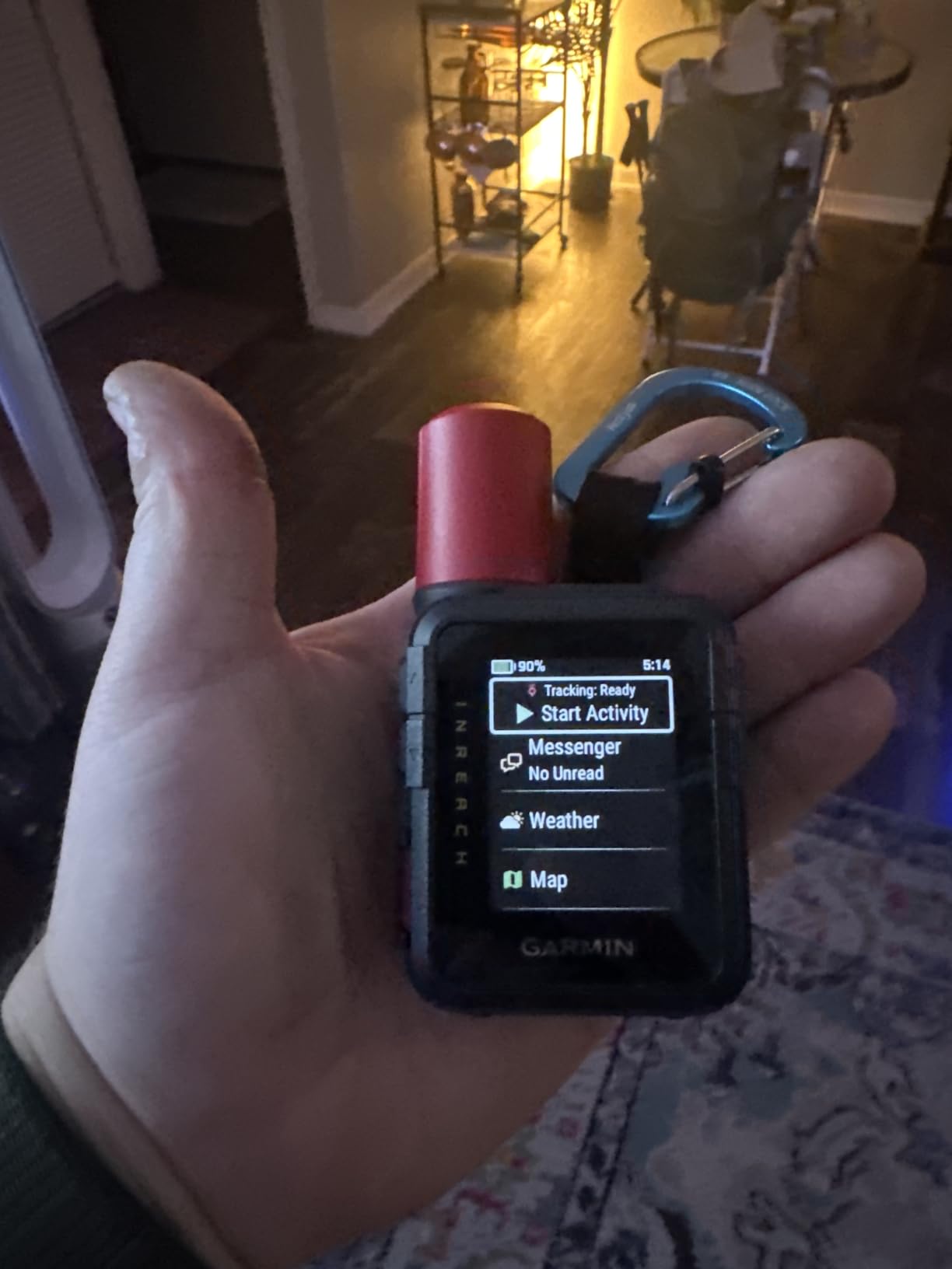
Reception is the quiet improvement. The unit does not need to be aimed at the sky for a lock in wooded and remote locations, and rated endurance reaches 350 hours in 10-minute inReach tracking and 95 hours in performance messaging mode. Weather reports and forecast requests are built in, and the IP67 body handles impact and temperature extremes.
The touchscreen raises the usual glove question. In practice it is more usable than older resistive panels, but the buttons alongside it remain the safer bet when your hands are wet or gloved.
What you should know before you buy
Photo and voice features still depend on pairing with the Garmin Messenger app, so this is not a fully standalone experience even with a color screen. A subscription is required for messaging and SOS.
As a newer model, it has less long-term owner feedback than the Mini 2. Nobody has yet reported how the touchscreen and buttons hold up after five years of field use, which is exactly the concern r/geocaching owners raise about button wear on older Garmin units.
Who should skip this unit
Skip it if you plan to rely on it as a navigator. A 1.9-inch screen with satellite communication rather than topographic maps is not a substitute for a hiking GPS, however good the messaging gets.
Skip it if you want proven long-term ownership history over new features. The Mini 2 has a much larger review base and a body built for the same job without the subscription-era feature creep.
7. Garmin Rino 750 – a 5 watt two-way radio with a GPS inside
Garmin Rino 750, Rugged Handheld 2-Way Radio/GPS Navigator
5 watt GMRS two-way radio
3 inch dual-orientation touchscreen
14 hours lithium or 18 hours AA
GPS and GLONASS
Pros
- Powerful 5 watt GMRS radio with long range for group and hunting communication
- Large dual-orientation touchscreen that is easy to read
- Fast satellite acquisition that holds signal in heavy forest
- Choice of lithium-ion pack or AA batteries for flexible power
Cons
- Ships with only a basic basemap so detailed topographic maps cost extra
- Position reporting only works with other compatible Rino devices
- Radio range is limited to line of sight in real terrain
- US model radio and emergency functions do not work outside the United States
The Rino 750 is the odd one out in this lineup because it is also a radio. The 5 watt GMRS transceiver reaches up to 20 miles with voice and unit-to-unit text messaging, and it will show you the positions of other Rino users on the same channel.
For a hunting party or a group splitting into car camps, that is a capability no other unit here offers. For a solo hiker, it is dead weight, and that is worth saying plainly before anyone spends on it.
Across 122 reviews averaging 4.4 stars, the Rino 750 is favored by hunters and backcountry users for combining a capable touchscreen GPS with a 5-watt two-way radio. Reviewers call out fast satellite lock, strong battery life and easy setup, while noting the need to buy detailed maps separately and the regional radio restrictions.
Power is genuinely flexible, which is rare in this category. The dual battery system gives about 14 hours on the lithium-ion pack or 18 hours with optional AA batteries, so a long trip does not depend on proprietary charging.
What you should know before you buy
Detailed topographic maps are not included. The unit ships with a basic basemap, and buying regional map detail is a separate step. Preloaded TOPO coverage for the hiking regions you care about is not guaranteed out of the box.
Position reporting only works with other compatible Rino devices, and radio range is a line-of-sight proposition. A canyon or a dense forest between you and your partner will cut it well short of the 20-mile figure. Radio and emergency functions on the US model do not function outside the United States.
Who should skip this unit
Skip it if you hike alone. A high-powered radio solves a group communication problem, and carrying one for solo travel adds bulk and complexity without a matching benefit.
Skip it if your group uses phones or separate handheld radios. Buying one brand of radio does not create a shared channel unless everyone else has compatible hardware.
8. Garmin GPS 73 – the simplest dedicated handheld, built for boats
Garmin GPS 73, 2.6 inches, Model:010-01504-00
2.6 inch monochrome screen
18+ hours on two AA batteries
Backlit dedicated buttons
1000 waypoints
Pros
- Simple dedicated-button interface that is easy to operate one-handed
- 18+ hours of runtime on two AA batteries
- SailAssist tools with virtual starting line and tack assist
- Backlit screen readable in daylight and at night
- Stores 1000 waypoints and 100 tracks
- Light enough to carry as a backup
Cons
- 2.6 inch monochrome screen with small buttons
- Slower position update rate than newer units
- Steep initial learning curve for some users
- Marine-oriented rather than a topographic hiking unit
The GPS 73 is a handheld navigator built for mariners, and it shows. SailAssist gives you a virtual starting line, countdown timers, speed history and tack assist, while marine alarms cover man overboard, off-course and anchor drag. On a hiking trail those features are dead weight, and the reviewer consensus reflects that.
What it does offer hikers is simplicity. Dedicated backlit buttons, a straightforward interface and 18+ hours on two AA batteries make it a competent backup unit that you can hand to a less technical companion without a lesson. At 0.22 kg it is heavier than the eTrex line but still carries in a pack lid pocket.
The GPS 73 averages 4.4 stars over 406 reviews, with owners using it mainly for marine and basic coordinate navigation. Reviewers consistently praise its simplicity, long AA battery life and SailAssist tools, while noting the small screen and slower update rate compared with the newer 78/79 models.
What you should know before you buy
This is not a chartplotter. It reports coordinates, speed and course over ground, and it is not a topographic hiking unit despite the map list including nautical charts. If trail detail matters, you are carrying the wrong device.
The position update rate is slower than newer models, though it is adjustable in settings. On fast-moving terrain or when you want a fast redraw, that lag is noticeable. Expect a learning curve if you have never used a dedicated-button navigator.
Who should skip this unit
Skip it as your primary hiking GPS. The feature set is oriented to water, and a hiker pays for marine tools while working around the absence of topographic mapping.
Skip it if you need to see anything detailed on a screen. A small monochrome panel with tiny buttons is workable for coordinates and simple waypoints, and little more.
9. Garmin Foretrex 701 – military-spec wrist navigator
Garmin 010-01772-10 Foretrex 701 Ballistic Edition, 2 inches
MIL-STD-810G construction
GPS GLONASS and Galileo
48+ hours in navigation mode
3.2 ounces
Pros
- Exceptionally rugged military-spec construction built to survive heavy field use
- Works with GPS GLONASS and Galileo satellite systems
- Battery life from 48 hours in navigation mode to a month in watch mode
- Barometric altimeter and 3-axis compass prove useful in the field
- Sharp well-organized display readable in low light
Cons
- Ballistic profile management is clunky through Garmin Explore
- Ballistic solutions run off by a few millimeters versus traditional methods
- Barometric pressure reading runs 1-2 hPa low
- No full color capability and limited map data
The Foretrex 701 Ballistic Edition is built to a different standard than everything else here. It is MIL-STD-810G tested and night vision goggle compatible, which is the language of a device designed to be dropped, soaked and abused rather than stored on a shelf.
Battery life is the standout. It runs more than 48 hours in navigation mode, up to a week in UltraTrac and up to a month in watch mode, which removes the charging question entirely for any realistic trip length. It also carries GPS, GLONASS and Galileo support along with a 3-axis accelerometer, 3-axis compass and barometric altimeter.
With 171 reviews at 4.6 stars, it earns high marks for military-grade durability, accurate GPS and class-leading battery life. Most owners are shooters and hunters who rely on it as a durable wrist navigator, and the main criticisms center on how clunky the ballistic profile software has become.
What you should know before you buy
The mapping is thin. There is no full color capability and limited map data, so this is a coordinate and waypoint device, not a navigation display. Hikers who want to read terrain on the device will be disappointed.
The ballistic software is the weak point. Profile management through Garmin Explore has become awkward, and reported solutions differ from traditional methods by a few millimeters. The barometric altimeter also reads 1-2 hPa low, which matters if you are navigating by elevation change rather than by map.
Who should skip this unit
Skip it if you need to read a map. The display is competent for numbers and symbols but not for the kind of planning most hikers do at a junction or a campsite.
Skip it if you have no use for Applied Ballistics. The shooting software is the reason many owners bought it, and without that interest you are paying for features you will never open.
10. Garmin GPSMAP 66s Renewed – a 3 inch screen for less money
Garmin GPSMAP 66s, Handheld Hiking GPS with 3” Color Display and GPS/GLONASS/Galileo Support (Renewed)
3 inch sunlight-readable color
Topo and BirdsEye imagery
US and Canada maps preloaded
Three-axis compass
Pros
- Large 3 inch sunlight-readable color display
- GPS GLONASS and Galileo multi-constellation support
- User-replaceable batteries which is unusual in this series
- Good positional accuracy and solid performance for hiking and geocaching
- Preloaded TOPO maps for the US and Canada with BirdsEye downloads
Cons
- Garmin desktop and mobile software is difficult to learn
- Waypoint naming is cumbersome and names cannot be edited later
- Bundled map detail is thinner than on new units
- Software update lockups reported on some units
- Renewed warranty is limited to 90 days
The renewed GPSMAP 66s gives you the part of the premium Garmin experience hikers care about most: a 3-inch sunlight-readable color screen with preloaded TOPO maps for the US and Canada, plus BirdsEye satellite imagery you download directly to the device with no annual subscription attached.
It also has user-replaceable batteries, which Garmin has moved away from on newer flagships. On a multi-day trip, swapping in a charged pack in the field is a real advantage, and a 3-axis compass and barometric altimeter round out the navigation sensor set.
This unit carries the lowest average rating in the roundup at 4.0 stars over 52 reviews. Buyers still like the big screen, GLONASS support and user-replaceable batteries, but reviews repeatedly flag Garmin’s steep software learning curve, thinner preloaded maps on refurbished units and occasional update problems.
What you should know before you buy
Expect a software learning curve either way. Garmin desktop and mobile software is difficult to master, and waypoint naming is awkward, with names that cannot be edited after entry. Budget an evening to get comfortable before a trip rather than in the field.
The warranty is 90 days on this renewed unit, which is a genuine risk on electronics that see rain and cold. Some owners report software update lockups, so complete any pending updates at home, not at the trailhead.
Who should skip this unit
Skip it if you need satellite messaging. The 66s navigates and shows imagery but cannot send a message or raise an interactive SOS without adding a different device.
Skip it if a short warranty makes you uneasy. A renewed unit with 52 reviews of feedback is a smaller risk pool than a current model with thousands, and the savings do not compensate if it fails early in the season.
Handheld GPS vs Smartphone: When a Phone Is Enough
A phone with an offline mapping app is the default choice for most hikers, and for many of them it is the correct one. The strongest argument against handhelds comes from r/hiking, where the top-voted answer calls phones the best GPS by a wide margin and recommends Caltopo Maps. A modern phone has a larger, brighter, higher-resolution screen and a processor that renders map tiles faster than any handheld here.
Where a handheld wins is specific and worth naming. A phone battery degrades in cold, a screen dies when it gets wet or frozen, and a dropped phone at a talus field is a broken trip. A handheld runs AA batteries you can replace anywhere, operates with gloves on, and does not care about a cracked screen. GPS accuracy is a wash for both devices on an open trail.
What a phone cannot do at all is message when there is no cell tower. That is the line between a navigation device and a communicator, and it is the one capability no app replicates. If you hike solo above treeline, the inReach class exists for exactly that gap.
My decision framework is trip-based. Day hike on a maintained trail with a map you have already walked: phone. Multi-day trip with resupply gaps, cold nights and a shared route: handheld. Solo trip where a missed check-in means a search and rescue call: handheld plus a communicator. International trip where preloaded US topo coverage does not exist: handheld with downloadable regional maps, or an app with the right offline pack.
The people who regret buying a handheld are almost always the ones who bought one for a use case a phone already covers. The people who regret not buying one are the ones who needed it in weather, cold or darkness.
How to Choose a Handheld GPS for Hiking
Satellite support: multi-GNSS before multi-band. Multi-GNSS means the unit listens to more than the GPS constellation, adding GLONASS, Galileo, BeiDou or QZSS. In this roundup, the eTrex 10 uses WAAS with HotFix and GLONASS, the eTrex 22x pairs GPS and GLONASS, the Foretrex 701 adds Galileo, and the inReach Messenger tracks BeiDou, Galileo, GPS and QZSS. More constellations means a faster fix and better performance under canopy. Multi-band, where L1 and L5 run simultaneously, is a further step that resists signal reflections in canyons and dense forest.
Battery: field-replaceable cells win on trips. The eTrex 10 and eTrex 22x run 20 and 25 hours on two AA batteries respectively, the GPS 73 manages 18+ hours the same way, and the Rino 750 accepts either lithium-ion or AA cells. Built-in lithium packs last longer between charges, and the GPSMAP 66i reaches up to 200 hours in Expedition mode, but a dead lithium pack on day four of a resupply-light route ends your navigation options.
Screen: decide between buttons and touch in the rain. Below 3 inches you are choosing between the 2.2-inch eTrex class and the 2.6-inch GPS 73. At 3 inches the GPSMAP 66i, GPSMAP 66s and Rino 750 give you enough room to read topographic detail at a junction. Touchscreens are faster for scrolling a map and slower with gloves, wet hands or a harness pulling at your shoulder strap. Older forum consensus favored simple waterproof button units, and that still holds for cold-weather trips.
Maps: know what is preloaded and what is not. The eTrex 22x carries preloaded TopoActive maps with routable roads and trails. The GPSMAP 66i and GPSMAP 66s ship with TOPO coverage for the US and Canada, plus BirdsEye satellite imagery you download direct to the device with no subscription attached. The eTrex 10, GPS 73 and Foretrex 701 have thin or limited map data, and the Rino 750 ships with only a basic basemap. Preloaded coverage skews toward North America, so international hikers should verify regional downloads before relying on a unit abroad.
Messaging: know which kind you are buying. A navigator shows you where you are. A communicator lets other people know where you are. The GPSMAP 66i does both, with two-way messaging over the global Iridium network and interactive SOS. The inReach Mini 2, inReach Messenger and inReach Mini 3 Plus are communicators with small screens, and all three require an active subscription. The Rino 750 is a third category entirely, pairing a GPS with a 5 watt GMRS radio for group use.
Weight: it is small, but it is not nothing. At 5 ounces the eTrex 10, 4.96 ounces the eTrex 22x, 3.2 ounces the Foretrex 701, 4 ounces the inReach Messenger and 4.31 ounces the inReach Mini 3 Plus, these are all small numbers. Add a communicator such as the 99-gram inReach Mini 2 and you are carrying roughly a third of a pound of navigation and safety gear, plus batteries.
Ruggedness: IPX7 and MIL-STD-810G are the labels to look for. IPX7 means the unit survives immersion in water to a stated limit, which covers rain, stream crossings and a dunk in a wash. MIL-STD-810G is a broader military durability standard, and the Foretrex 701 is the unit here that carries it while staying night vision goggle compatible. Neither rating protects against a 20-mile fall onto granite, so a case still matters.
One more thing no spec sheet covers: long-term durability. Owners on geocaching forums report the button on older Garmin units eventually wearing out and failing to complete the circuit, and one GPSMAP 66i reportedly got stuck in a screen-on boot loop. Any handheld should be treated as a consumable over a decade, not a lifetime purchase.
Frequently Asked Questions
Is a handheld GPS worth getting for hiking?
A handheld GPS is worth buying for backpacking, thru-hiking, solo travel in remote terrain, geocaching and anywhere cell coverage ends. A phone with an offline map app handles most day hikes on maintained trails near a town just as well, and usually with a bigger screen. The handheld earns its place through replaceable AA batteries, glove-friendly buttons, water tolerance and, in satellite models, the ability to call for help with no cell tower.
Is a Garmin handheld GPS better than my phone?
For an open trail, position accuracy is essentially the same on both. The differences are practical rather than numerical. A handheld runs AA batteries you can replace in the field, works with wet gloves, survives rain and submersion, and cannot be bricked by a frozen screen. A phone wins on screen size, processing speed and app flexibility. Satellite communicators offer something a phone cannot do at all, which is sending messages and SOS with no cell tower.
Which handheld GPS is the most accurate?
Accuracy improves with more satellite systems and higher frequencies. Among these units, the Foretrex 701 tracks GPS, GLONASS and Galileo, the GPSMAP 66s adds Galileo, and the inReach Messenger supports BeiDou, Galileo, GPS and QZSS. The GPSMAP 66i is rated for quick, accurate acquisition with multi-GNSS support. In open terrain any of these are similar; in canyons and dense forest, multi-band units hold the tightest lock.
How long does a handheld GPS battery last?
It depends almost entirely on the battery type. The eTrex 10 runs about 20 hours on two AA batteries, the eTrex 22x about 25 hours, and the GPS 73 more than 18 hours. Built-in lithium units go further: the GPSMAP 66i reaches up to 35 hours in standard tracking and 200 hours in Expedition mode, while the Foretrex 701 exceeds 48 hours in navigation mode and up to a month in watch mode. Cold weather shortens all of these.
Are handheld GPS maps preloaded or do you pay extra?
Both happen, depending on the model. The eTrex 22x includes preloaded TopoActive maps with routable roads and trails, and the GPSMAP 66i and GPSMAP 66s come with TOPO coverage for the US and Canada plus BirdsEye satellite imagery you download directly to the device with no annual subscription. The eTrex 10, GPS 73 and Foretrex 701 carry thin or limited map data, and the Rino 750 ships with only a basic basemap. Preloaded coverage skews to North America, so check regional downloads before international travel.
Which Handheld GPS Should You Buy?
Pick the eTrex 10 if you want the most proven, lowest-friction hiking handheld: two AA batteries, IPX7 durability and a decade of owner feedback behind it. Move to the eTrex 22x when you need a color screen and preloaded TopoActive routable maps, because that is the single biggest jump in usability for the money.
Choose the GPSMAP 66i if you want one device for navigation and emergency communication, and you are comfortable with a subscription and a built-in battery. If you do not need the subscription, the GPSMAP 66s gives you the same 3-inch screen and BirdsEye imagery without the recurring cost.
Add a communicator rather than replacing your navigator. The inReach Mini 2 is the lightest option, the inReach Messenger is the simplest texting tool, and the inReach Mini 3 Plus is the one to buy if you want a color screen, photos and voice notes. None of them navigate well, and all of them need a plan.
These picks reflect the 2026 hiking season. Carry a paper map and a compass as a backup, and check that your preloaded map coverage actually covers the ground you plan to walk.